I know, I’ve been slacking with my trip reports. In fact, I’ve been slacking with my winter hiking. Owl’s Head is my only winter 4k this year (so far). A friend of mine has been wanting to go there, so I decided it was time to check it off in winter. For no good reason, this was my 3rd trip to Owl’s Head. I’m not really chasing down the winter 4k’er list with much purpose, but Owls Head is probably one of the harder ones to get. Lets face it, there’s not much for views, no one likes to hike the wilderness trail, and it makes for a very long day. Now, I’ve taken a few different routes before, this time opting for the Black Pond/Brutus Bushwhack variation. We were on trail at Lincoln Woods for 7:00AM and made really good time to the turn off to Black Pond. I was really hoping that someone had broken trail after the previous weeks hike out to North Moat, where we were breaking trail with 22in of new snowfall. As it turns out, there was a few people out last weekend, some gave up, and 1 person made summit, so there was hope. During the week new snow fell, but not too much, or so we hoped.
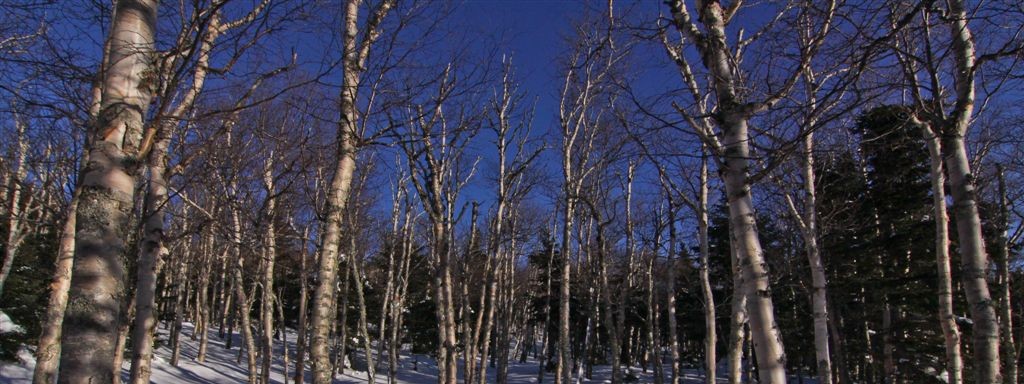
From Black Pond the bushwhack remains relatively flat and was easy to follow magnetic north through the open woods. During non winter, going this low would probably mean swamp, but we enjoyed a semi broken out trail. In short order we popped out back on the trail right at the river crossing. Pressing on we had some views of our destination through the trees, including an interesting rock cliff I notified my climber friends about. Arriving at the last crossing before the start of the Brutus Bushwhack, we stopped to refuel. Here a smaller group of hikers came up behind us, they knew we were the AMC team out that day, and thanked us for breaking the trail out. One of them had been there last week after the big snowfall but hadn’t made the summit. It was nice to have some extra legs, because from here things got much harder. There was not much trace of broken trail at all here, and we had some 1500 ft to ascend still. Snow was waist deep and it was very slow going, needing 7 kick steps to make 1 in places. We had some VERY strong hikers on this team and although we might of been off course, we finally gained the ridge. Winds picked up and the temp dropped, but after some meandering through the forest, we arrived at the “new Owl’s Head summit. This being a wilderness area, no markers or the like are allowed, but there seems to always be something indicating the true top of this mountain. This time is was just the very top of a rock carin poking through the snow, and someone also did some wood carving.
We took out celebratory photos be began the long march out, combined with some great glissading back down Brutus.
GPS/GPX Link
Distance: 16.41 mi
Time: 11:27:55
Avg Pace: 41:55 min/mi
Avg Speed: 1.4 mph
Elevation Gain: 3,007 ft


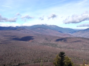
 While my friends were off hiking some 4kers, I decided to chase down some easier 52WAV peaks. I hit IMP Face in the morning,and then drove over to Iron Mountain for a quick afternoon hike. It was surprising to see the road open this late in the year.

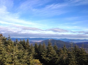

 For the Christmas holiday I climbed Old Speck for my 3rd time, under sunny skies and very warm temps. We made great time and didn’t find too much ice.I ran into some hiking friends on my way down.


